
Uxbridge, Ontario

Uxbridge Real Estate

Uxbridge is the trail town of Durham Region, a township of roughly 420 square kilometres on the Oak Ridges Moraine with one main town and a ring of hamlets. Quakers from Pennsylvania settled it in 1806, the meeting house they raised in 1820 still looks down from Quaker Hill, and the town was incorporated in 1850. In 2009 the federal government named it the Trail Capital of Canada on the strength of more than 220 kilometres of managed trails across some 3,200 hectares of protected green space, including sections of the Trans Canada Trail and the Oak Ridges Trail. The hamlets have their own identities: Goodwood supplied the exteriors for Schitt's Creek, Leaskdale is where Lucy Maud Montgomery lived and wrote from 1911 to 1926, and Zephyr, Sandford, Udora, Coppin's Corners, Altona and Glen Major dot the concessions. There is no GO train; commuters take the GO bus on the Stouffville corridor or drive Regional Road 47 toward the 404 and 407. People move here for forest, quiet and land, and they accept the drive as the price.

Uxbridge homes by the numbers

Live from the MLS® feed · updated October 8, 2026

116 For sale now
63 New in 30 days
$1,289,500 Median asking price Middle half $942K to $1.8M
$615 Asking price per sq ft
28 days Median days listed
21% Listings with a price cut Median cut 5.2%

What is for sale: 100 detached homes · 11 townhouses · 3 semi-detached homes · 2 condos

Uxbridge neighbourhoods

NeighbourhoodFor saleNew in 30 daysMedian asking
Rural Uxbridge 71 40 $1,599,000
Uxbridge 45 23 $1,049,000

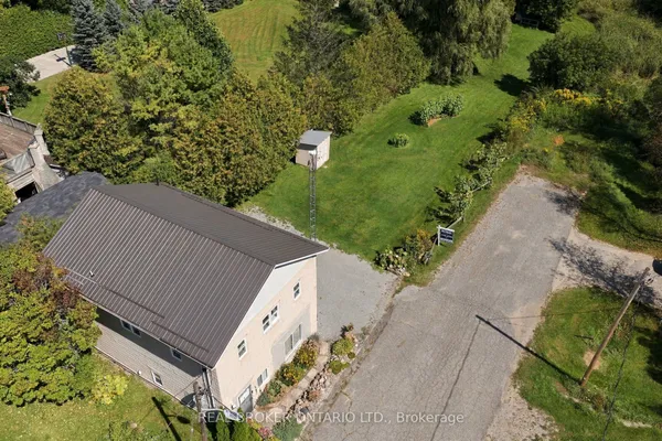
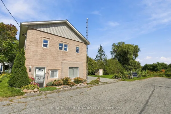
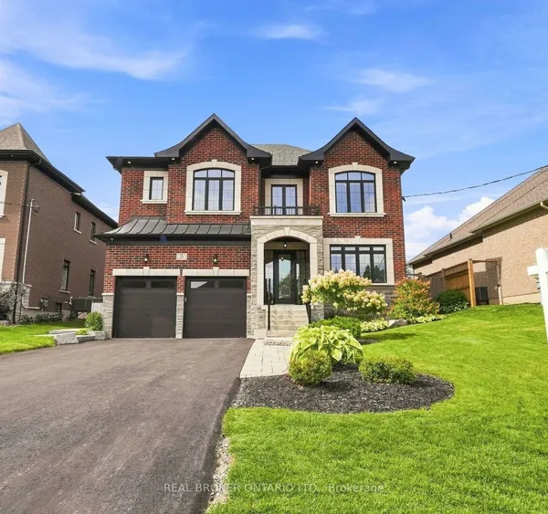
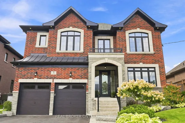
Newest Uxbridge homes for sale

See all 117 listings

New Uxbridge homes for sale land here first. Save this search and we email you the moment one is listed.

The town and the country

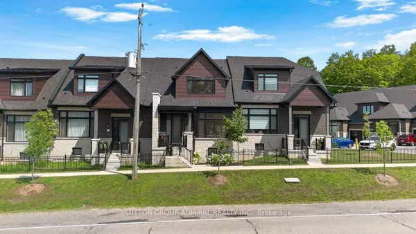
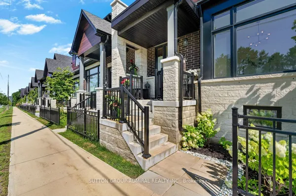
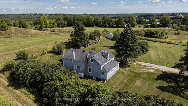
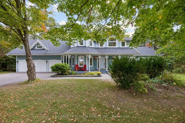
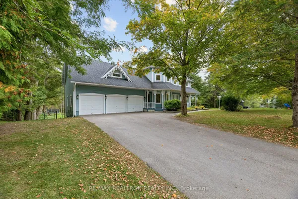
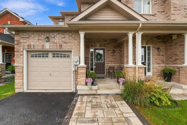
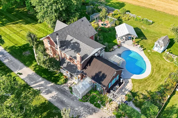
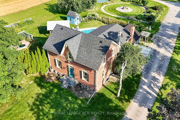
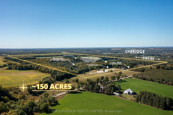
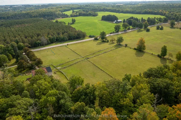
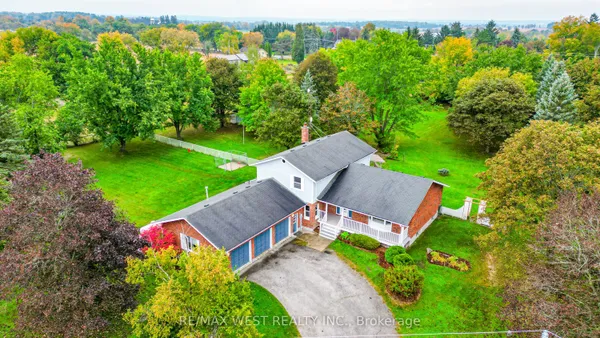
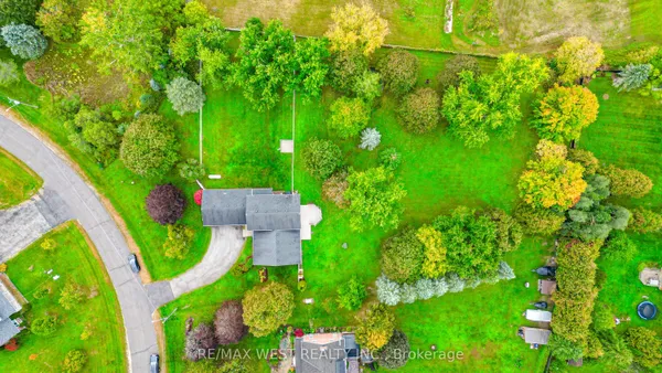
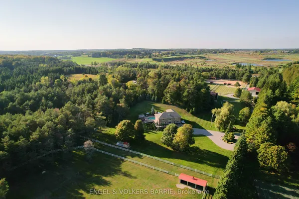
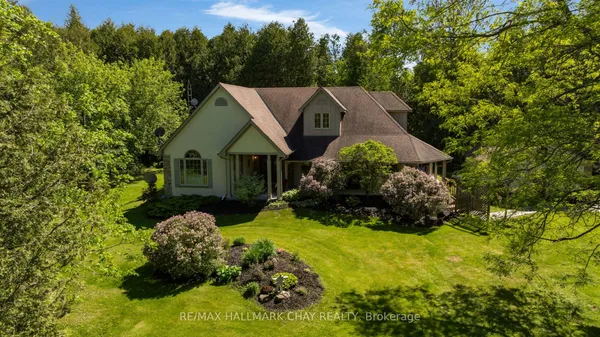
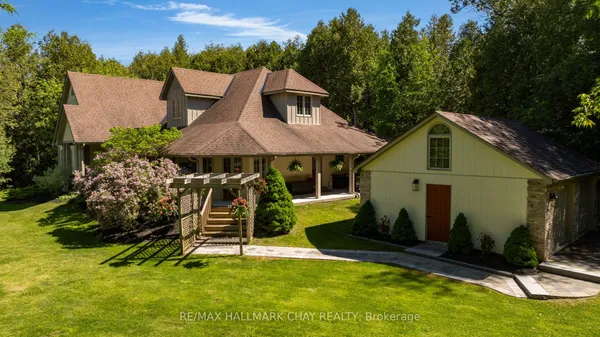
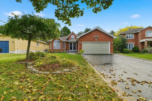
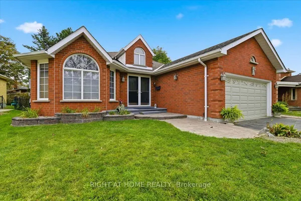
The town of Uxbridge itself is compact: a Brock Street downtown of brick storefronts, Victorian and Edwardian houses on the streets around it, postwar bungalows and split-levels from the 1950s to 1970s, and builder subdivisions from the 1980s onward on the south and west edges, including the Quaker Village and Testa Heights areas. Townhouses exist but are a small share, mostly in the newer phases. Outside the urban boundary the township is farms, horse properties, hobby acreages and estate lots on the moraine, with century farmhouses and custom homes on gravel and paved concessions. The Oak Ridges Moraine Conservation Plan and the Greenbelt Plan cover most of the rural land and tightly limit new lots and some additions, so acreage is bought as it stands. Wells and septic systems are the norm outside town, and rural values turn on things a city buyer never thinks about: the well record, the septic age, road maintenance and whether the driveway gets plowed in February.

Getting around: Regional Road 47, the 404 and the GO bus

Highway 47 was a provincial highway from 1937 until 1998, when it was handed to the region; it is still the spine, running west through Goodwood to Highway 48 at Stouffville and east to Highway 12 near Greenbank. Drivers heading to Toronto take it west to Highway 404 or drop south on Lake Ridge Road or Brock Road to the 407, whose provincially owned section reportedly lost its tolls in June 2025. GO Transit's Stouffville corridor bus, Route 70 as of this writing, connects the Uxbridge terminal and Goodwood with Old Elm, Stouffville and Mount Joy GO stations for the train; the service is limited and weekday-focused, so read the timetable before relying on it. Durham Region Transit runs Route 905 toward Port Perry and Whitby and a local Route 605 loop, and On Demand rides can be booked from stops in town or from the driveway in rural areas, with a connection to York Region Transit in Mount Albert. The York-Durham Heritage Railway reportedly stopped running in 2024.

Schools

Public schools belong to Durham District School Board: Uxbridge Secondary School in town, with Uxbridge Public School, Joseph Gould Public School, Quaker Village Public School, Goodwood Public School and Scott Central Public School feeding it from the town, the west and the north. Catholic elementary students go to St. Joseph Catholic School, opened under Durham Catholic District School Board in 1989; there is no Catholic high school in the township, so secondary students bus south, generally to Father Leo J. Austin in Whitby or Monsignor Paul Dwyer in Oshawa. French-language schooling is through Conseil scolaire Viamonde and MonAvenir. Both boards set their own attendance areas and rural addresses are usually bused, so check a specific street with the board rather than assuming the nearest school. The closest post-secondary campuses are Ontario Tech and Durham College in north Oshawa, roughly a half-hour drive down Lake Ridge Road or Highway 12.

Trails, the hospital and daily life

The trails are the point of living here. Durham Regional Forest and the Walker Woods and Glen Major tracts south of town, the Countryside Preserve on the edge of the urban area and the Trans Canada Trail through the middle give hikers, mountain bikers, skiers and riders more ground than they can cover in a season. Uxbridge Cottage Hospital, a 30-bed community hospital opened in 1958, is affiliated with the Markham Stouffville hospital; Lakeridge Health's Port Perry and Oshawa sites and Markham Stouffville handle the heavier care. The Uxbridge Arena and Community Centre, the outdoor pool, the splash pad and the library are all municipal. Shopping means a Brock Street downtown of independents plus a grocery-and-hardware strip on the west side; a big-box run means Stouffville, Whitby or Markham. Two conservation authorities cover the township: Lake Simcoe Region on the north-flowing Beaver River and Pefferlaw watersheds, reportedly folded into a new Lake Huron regional authority in March 2026, and Toronto and Region on the Duffins Creek headwaters to the south.

Questions people ask about Uxbridge Real Estate

Does Uxbridge have a GO train?

No. The nearest trains are the Stouffville line stations at Old Elm and Mount Joy, reached by the GO bus that runs through Goodwood and the Uxbridge terminal, and the Lakeshore East stations at Whitby and Oshawa, reached by car or by Durham Region Transit's Route 905. Service is thin outside weekday peaks, so most Uxbridge commuters drive to a station or all the way in.

Can I sever my Uxbridge acreage or build a second house on it?

Rarely. Most rural land in the township is inside the Oak Ridges Moraine Conservation Plan or the Greenbelt Plan, which restrict new lot creation, and the Region's official plan adds its own limits. Additional residential units inside an existing house or a detached accessory building are a different question, governed by provincial rules and the township's zoning, so ask the planning department before you buy on that assumption.

What does the Oak Ridges Moraine mean for a buyer?

The moraine is the ridge of glacial sand and gravel that runs about 160 kilometres from the Niagara Escarpment to Rice Lake and feeds the headwaters of some 65 rivers and creeks. Its conservation plan, in force since 2001, sets land-use designations that govern what can be built, how much can be paved and whether a lot can be split, so the designation on a specific parcel is a fact to confirm early.

Which schools would my children attend in Uxbridge?

Public students attend one of the five Durham District School Board elementary schools in the township and then Uxbridge Secondary School; Catholic students attend St. Joseph and then bus to a Whitby or Oshawa Catholic high school. The board's boundary map for the exact address decides which elementary school, and rural addresses are generally bused, so ask the board rather than the listing.

What catches rural buyers in Uxbridge by surprise?

Wells that need treatment, septic systems near the end of their life, roads that are not maintained by the township in winter, internet that is satellite or fixed-wireless only, and moraine or Greenbelt designations that stop the pool, the shop or the second driveway they were planning. A water test, a septic inspection and a call to the township before the offer prevent most of it.