

How Oshawa is laid out
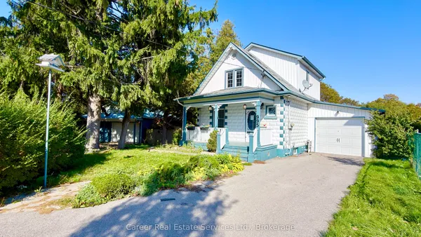
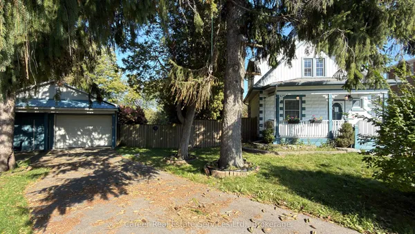
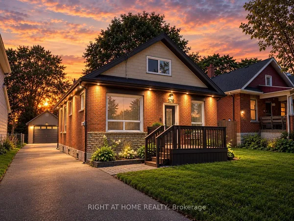
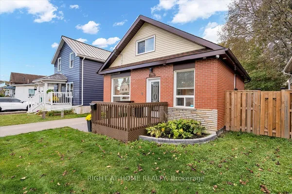
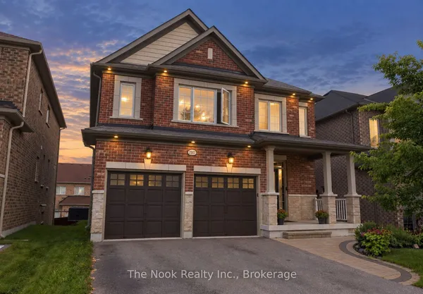
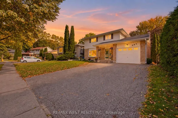
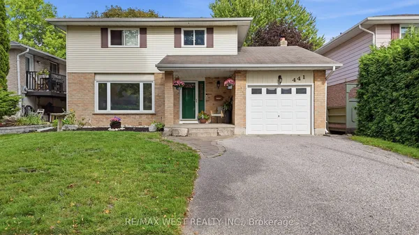
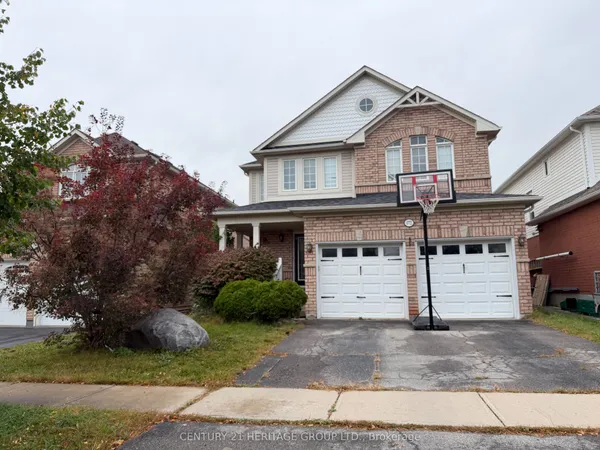
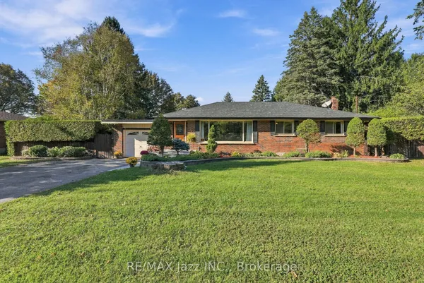
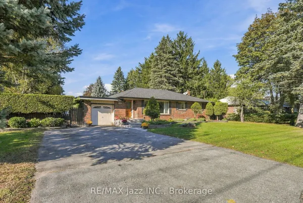
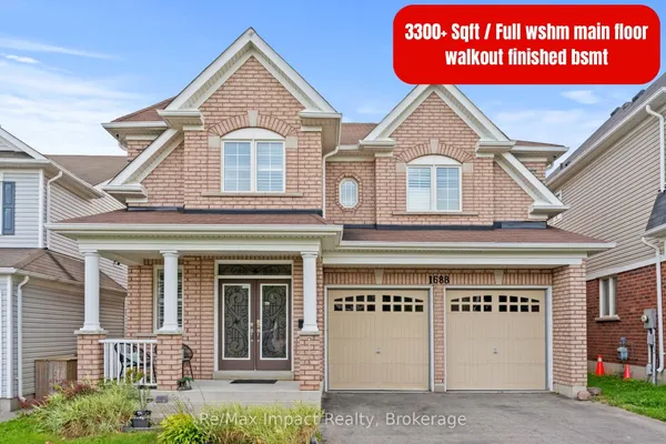
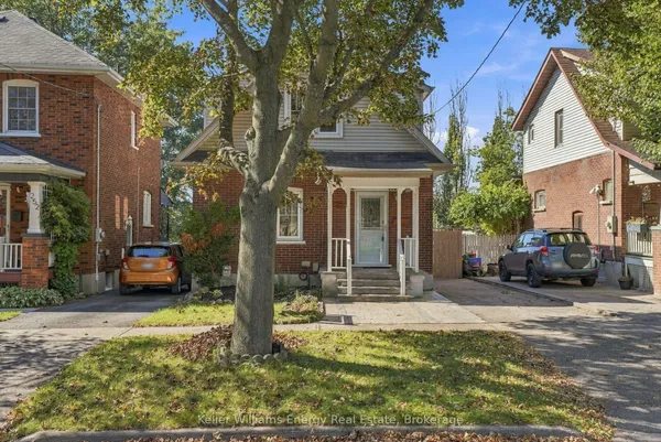
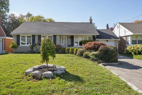
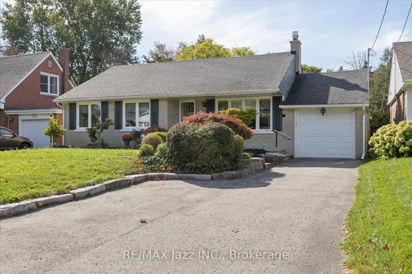
The 401 splits the city into a compact south and a much larger north. South of the highway, Lakeview runs down to the beach and the harbour, with Vanier and Central just above it and the port and Second Marsh to the east. Downtown is the Four Corners of King Street and Simcoe Street, laid out in 1822 when Simcoe was cut as a colonization road; the Central community wraps around it, O'Neill holds the older streets east of Simcoe near the hospital, and McLaughlin to the west takes in Parkwood Estate and the Oshawa Centre. East of Ritson Road are Donevan and Eastdale, the post-war grid of bungalows and schools. Between Rossland Road and Taunton Road sit Centennial, Samac and Pinecrest, mostly 1970s to 1990s subdivisions. North of Taunton the city is new: Northglen, the Taunton community, Kedron and Windfields, the last built on the former Windfields Farm where Northern Dancer was foaled, beside the campus. Beyond that, Columbus, Raglan and Rural Oshawa are hamlets and farms reaching toward the moraine.