
Clarington neighbourhood guide

Bowmanville

Bowmanville is Clarington's main town and municipal seat, a market town with a Victorian downtown that has grown a ring of subdivisions around it. Charles Bowman, a Scottish merchant, gave the place his name in the 1830s, it incorporated as a town in 1858, and for a century it lived on mills, a foundry, the Goodyear plant and the farms around it. Roughly forty thousand people live in the urban area now, which by most accounts makes it the largest settlement in Clarington. King Street keeps its old storefronts and the Applefest crowds each October, while the newer neighbourhoods run north toward Concession Road 3 and west to the retail centre on Clarington Boulevard. Two projects are reshaping expectations: the rebuild of the Liberty Street hospital, Lakeridge Health Bowmanville, under way since about 2023, and the GO rail extension whose end station is planned for the west side of town near Bowmanville Avenue. Buyers are mostly families moving east from Oshawa, Whitby and Ajax for a bigger lot, plus downsizers who want a Kaitlin condo by the lake or at the big-box centre, and a smaller group who prize the century houses around Beech Avenue and Concession Street.

Bowmanville homes by the numbers

Live from the MLS® feed · updated October 8, 2026

216 For sale now
151 New in 30 days
$744,500 Median asking price Middle half $599K to $899K
$490 Asking price per sq ft
20 days Median days listed
15% Listings with a price cut Median cut 3.7%

What is for sale: 134 detached homes · 46 townhouses · 30 condos · 6 semi-detached homes

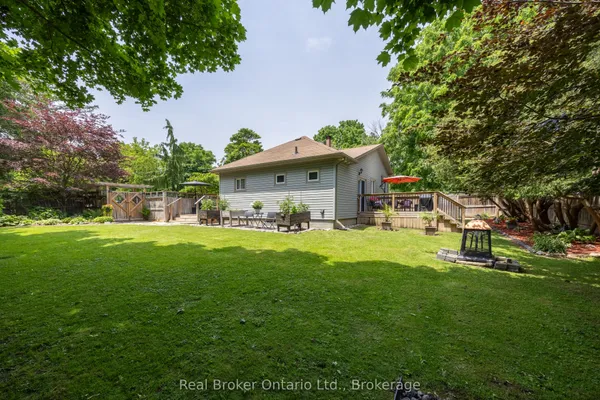
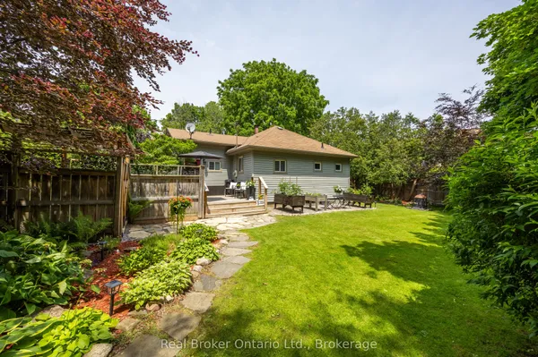
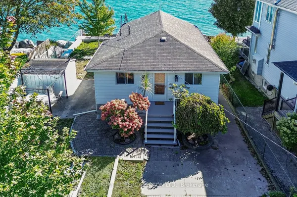
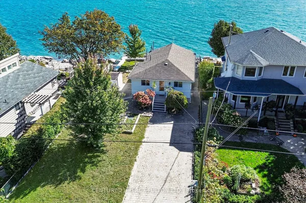
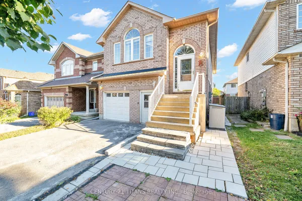
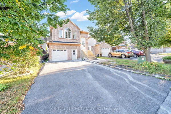
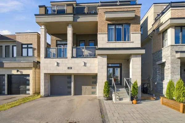
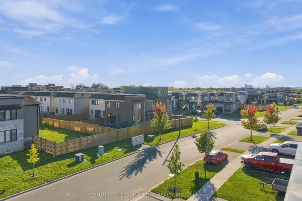
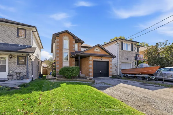
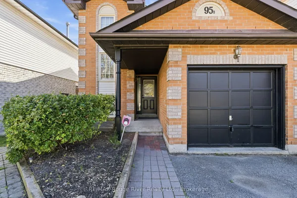
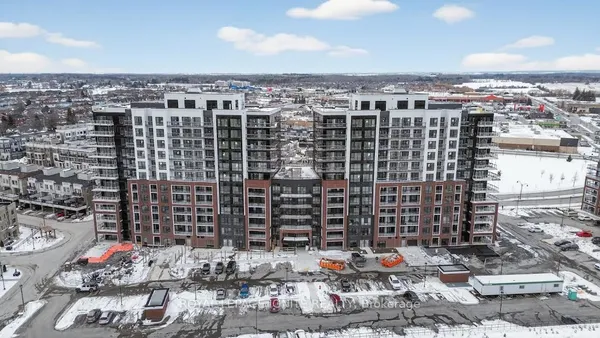
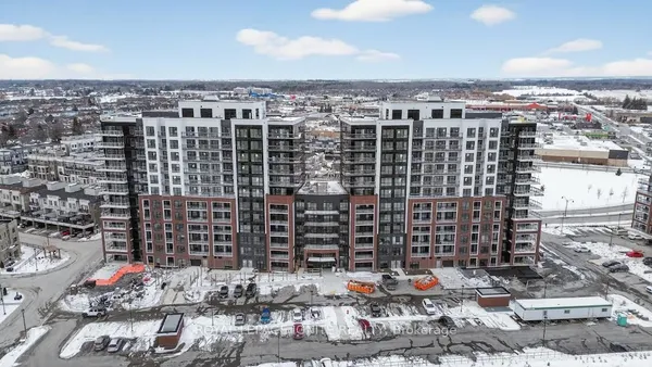
Newest Bowmanville homes for sale

See all 221 listings

New Bowmanville homes for sale land here first. Save this search and we email you the moment one is listed.

Where Bowmanville sits

For listing purposes Bowmanville covers the whole urban area between the Highway 418 corridor on the west and roughly Bennett Road on the east, from the Lake Ontario shore at Port Darlington up to the edge of the Concession Road 3 subdivisions. Maple Grove, the stretch of Highway 2 between Courtice and Bowmanville Avenue, gets tagged inconsistently, and estate lots just past the urban line often show as Rural Clarington. The Miller team checks the tag on a listing before you set a community filter.

The homes you will find

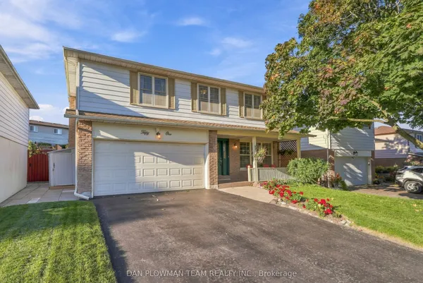
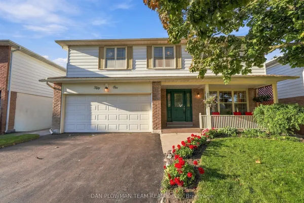
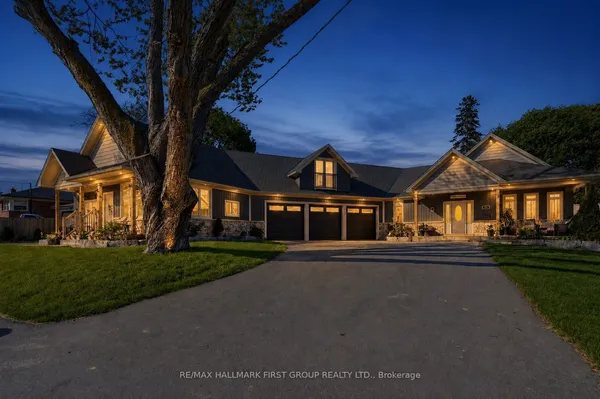
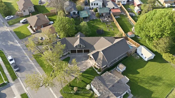
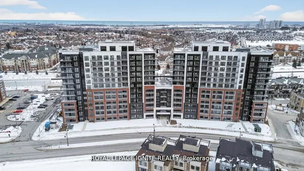
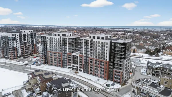
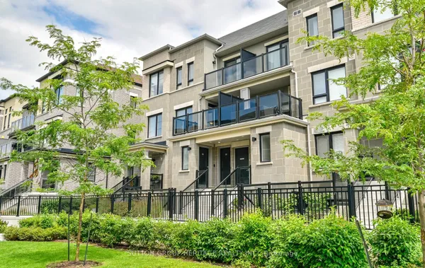
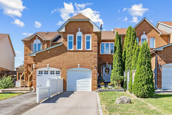
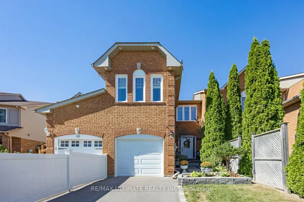
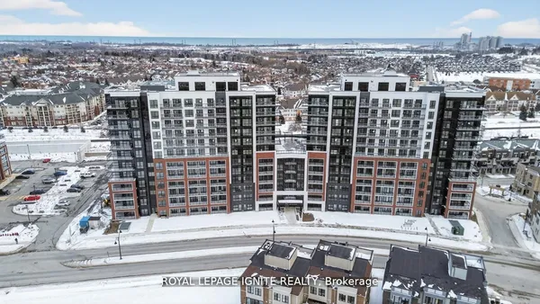
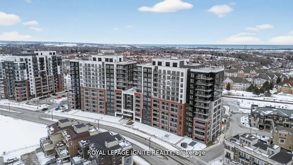
The oldest stock sits on the grid around the downtown: Italianate and Gothic Revival brick houses dating from the 1850s through the 1890s on Beech Avenue, Centre Street, Concession Street and Wellington Street, many inside the Beech Avenue heritage conservation district, on lots with mature trees and carriage-house garages. South of King toward Baseline Road and along Liberty Street the streets filled after the war with bungalows and taller storey-and-a-half cottages through the 1960s, then 1970s two-storeys and semis around Waverley Road and Simpson Avenue. The 1990s and 2000s belong to Aspen Springs west of Bowmanville Avenue, a Kaitlin community of detached homes, semis, townhouses and low-rise condos, and to the streets north of Concession Road 3 along Scugog Street and Middle Road. Since the 2010s the growth has been Northglen and Brookhill along the northern and western edges, with 36 to 45 foot detached lots, freehold and condo townhouses, and a few mid-rise buildings at the Clarington Boulevard centre and at Lakebreeze beside Port Darlington. Lot widths shrink the farther north and west you go.

Getting around

Three 401 interchanges serve the town, at Bowmanville Avenue (the old Waverley Road exit), Liberty Street and Bennett Road, and the 418 begins at Holt Road on the west edge, giving a toll-free run north to the 407. Oshawa GO is about fifteen minutes west on the 401 in light traffic and is where most rail commuters start; the Lakeshore East extension is meant to end at a Bowmanville station near Bowmanville Avenue and Baseline Road, with early works under way but no opening year the Miller team would rely on. Highway 2 carries both the GO bus and Durham Region Transit's buses between here and Oshawa, and local DRT routes loop through the north subdivisions and the Clarington Boulevard stores. Cyclists use the Waterfront Trail along the lake and the paved paths in the Bowmanville Creek and Soper Creek valleys; downtown is walkable, but the north subdivisions are car-first.

Schools

Bowmanville's English public schools belong to Kawartha Pine Ridge, the district school board based in Peterborough, rather than to Durham's board, and Catholic schools answer to PVNC, the Peterborough-based Catholic board that covers Clarington. Secondary choices are Bowmanville High School on Liberty Street North, the town's oldest, Clarington Central Secondary School near Aspen Springs, and St. Stephen Catholic Secondary School. Elementary schools include Central, Vincent Massey, Dr. Ross Tilley, John M. James, Harold Longworth, Charles Bowman and Duke of Cambridge for the public board, with St. Elizabeth, St. Joseph and Holy Family for the Catholic one; French immersion streams run at a few public sites, and French-language schooling goes through Viamonde and MonAvenir, mostly from Oshawa. Catchments get redrawn as subdivisions open, so put the question to each board for the specific street. Ontario Tech and Durham College sit twenty-five minutes west.

Parks, shopping and daily life

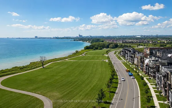
Bowmanville Creek and Soper Creek wrap the old town in two wooded valleys. The Bowmanville Valley Conservation Area, a Central Lake Ontario Conservation property, has a trail from the Vanstone mill pond toward the lake and a fishway past the old Goodyear dam where salmon stack up each fall; Soper Creek's trail starts beside the Visual Arts Centre, which occupies the former Cream of Barley mill on Simpson Avenue. At the lake, Port Darlington has the East Beach park and the marina, with the Bowmanville and Westside marshes beside it. Garnet B. Rickard Recreation Complex on Highway 2 holds two ice pads and the community halls, the Alan Strike Aquatic and Squash Centre and the Clarington Fields sports park cover the rest. Shopping splits three ways: independent shops on King Street, the Bowmanville Mall on King East, and the Clarington Boulevard plazas at Green Road. Lakeridge Health Bowmanville is the hospital, mid-rebuild. The zoo on King Street East closed in 2016 and its land has been proposed for housing.

Who it suits

Bowmanville suits households that want an actual town rather than a subdivision with a plaza: a walkable downtown, a hospital, high schools from each board, and the lake within a short drive, at lot sizes that Whitby and Ajax stopped offering decades ago. It suits century-home buyers with patience for old wiring and plaster, and downsizers who want a low-rise condo near the big-box centre or by the water. It is a harder fit for a daily Union Station commuter until the GO extension actually opens, since the trip means the 401 to Oshawa first, and for anyone who wants restaurant variety or nightlife beyond a handful of downtown spots.

Questions people ask about Bowmanville

Is the Bowmanville GO station actually coming, and when?

Metrolinx's Lakeshore East extension is approved and its early works, including bridge and track work west of town, have reportedly been under way since 2023, with the end station planned near Bowmanville Avenue south of Highway 2. No opening year has been published as of this writing, so buy a house here for what it is today and treat the station as a bonus that may arrive late in the decade.

What is changing at Lakeridge Health Bowmanville?

The Liberty Street hospital is being rebuilt in place, with a new patient tower, a larger emergency department and more inpatient beds, a project the Province funded and that has been under construction since roughly 2023, with completion expected later in the decade. For nearby streets that means several years of construction traffic and, afterward, a full-service hospital a short drive from nearly every street.

Do the creek valleys flood, and does that affect houses?

Bowmanville Creek and Soper Creek both have mapped floodplains, and Central Lake Ontario Conservation regulates building near them, but the valleys are deep enough that most houses sit well above the water. The exceptions are a few older properties on the valley floor and the low ground around Port Darlington, so pull the regulated-area map for any lot backing onto a ravine or near the marsh before you waive conditions.

Which parts of Bowmanville are still building new homes?

Bowmanville has the most new construction in Clarington. Northglen, Brookhill and the Liberty Street North lands are still releasing phases of detached homes and townhouses, and mid-rise condos keep going up at the Clarington Boulevard centre and at Lakebreeze by the lake. Check what schools, parks and road links are actually built versus promised on a builder's site plan, and read the Tarion warranty terms before you sign.

What is the noise situation near the 401 and the industrial areas?

Highway 401 runs along the south of the town, so streets between Baseline Road and the highway hear it, as do the newer Lakebreeze homes to some degree. The industrial pockets around Baseline and Lake Road bring truck traffic, and the St. Marys Cement plant west of Port Darlington runs a quarry and dock, with occasional blasting felt in the west end. Above King Street the town is quiet apart from construction.

Sources: clarington.net · clarington.net · clarington.net · clarington.net · metrolinx.com · durhamregiontransit.com