
Pickering neighbourhood guide

Brock Ridge

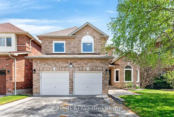
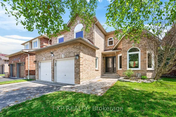
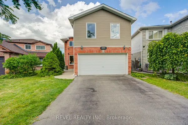
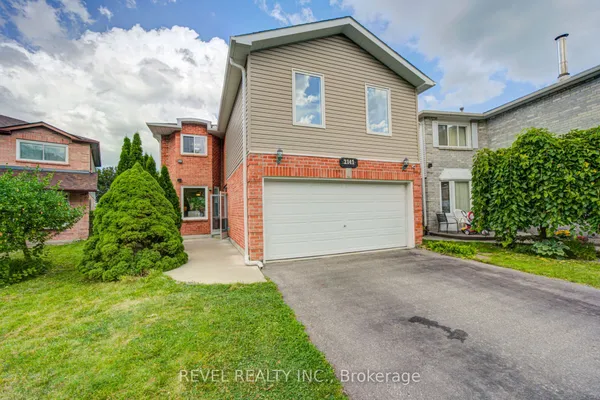
Brock Ridge is the hilly family subdivision on both sides of Brock Road north of Finch Avenue, built almost entirely since the 1980s on a ridge between the West Duffins Creek and the East Duffins and Ganatsekiagon creeks. The name pairs Sir Isaac Brock with the landform, and the terrain shows: streets such as Dellbrook Avenue, Major Oaks Road and Valley Farm Road rise and fall toward wooded ravines that the City counts as part of its Natural Heritage System. Housing is mostly two-storey detached houses and semi-detached pairs with four bedrooms, a few townhouse rows on Clearside Court, and newer townhouse and mid-rise blocks on the east side of Brock Road, where the City's Duffins Precinct plan has been filling in since 1997. Residents shop at the plaza on the southwest corner of Brock Road and Dellbrook Avenue, drive five minutes south to Highway 401 and the Pickering City Centre mall, or ride the 112 and PULSE 916 buses down Brock Road to Pickering Parkway Terminal. Brock Ridge Community Park, home to Pickering Baseball, is the neighbourhood's gathering point.

Brock Ridge homes by the numbers

Live from the MLS® feed · updated October 8, 2026

17 For sale now
6 New in 30 days
$995,000 Median asking price Middle half $865K to $1.0M
$444 Asking price per sq ft
36 days Median days listed
28% Listings with a price cut Median cut 8.3%

What is for sale: 13 detached homes · 4 townhouses

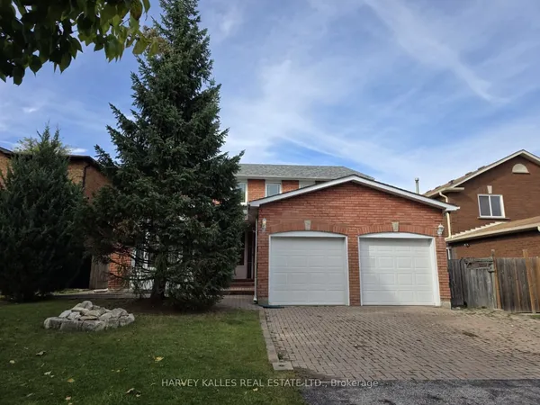
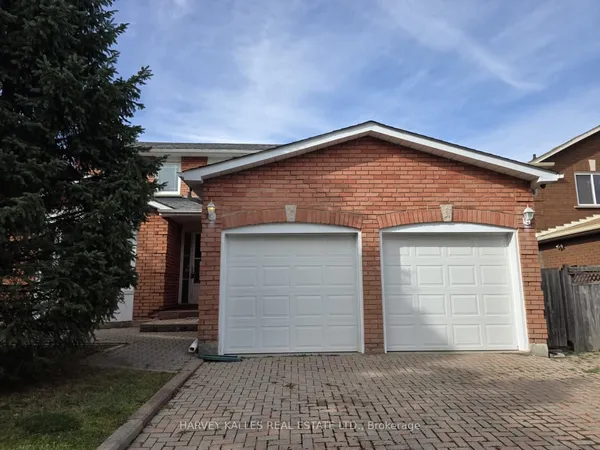
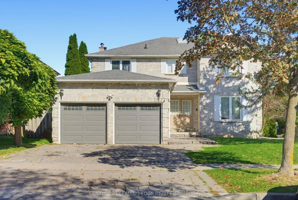
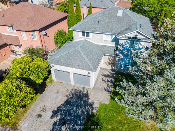
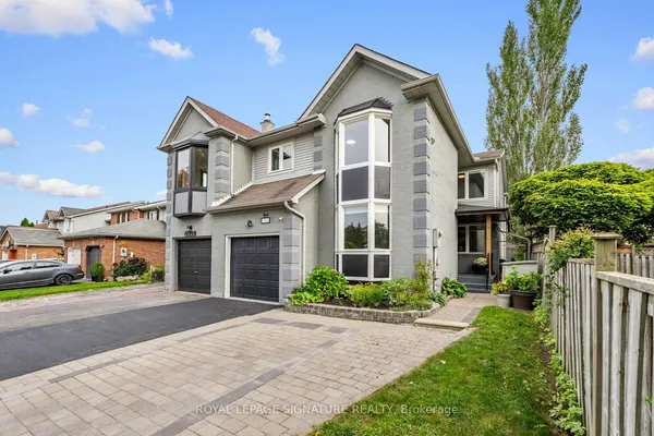
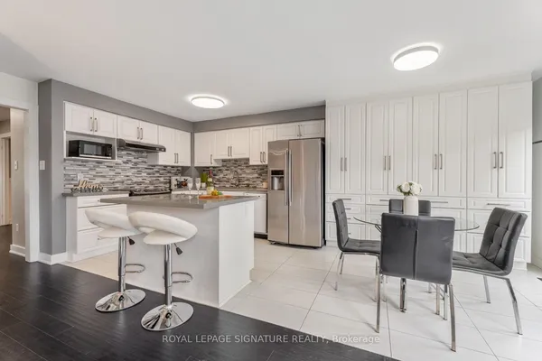
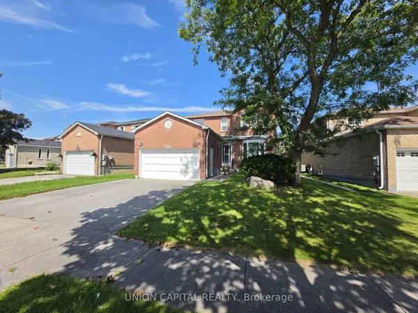
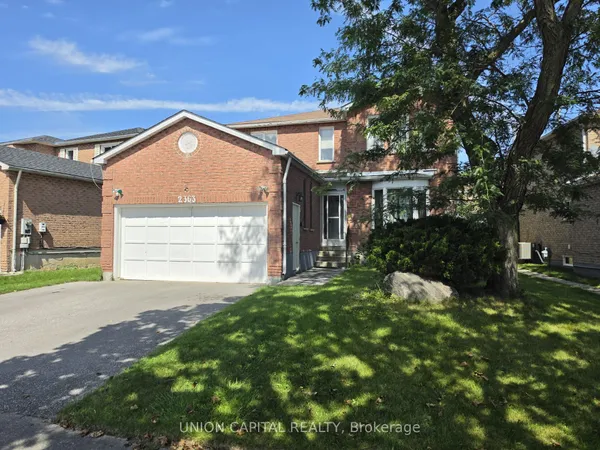
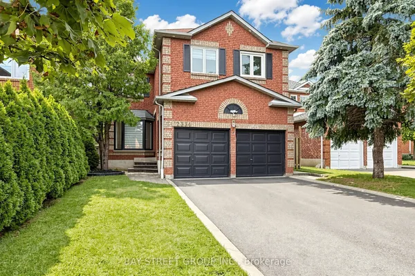
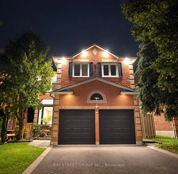
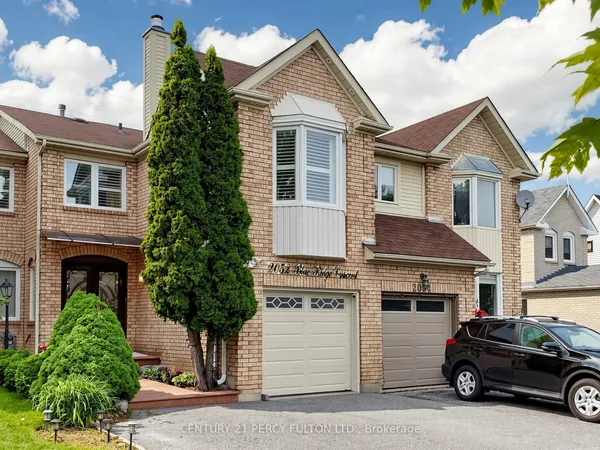
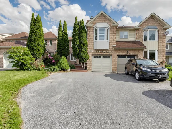
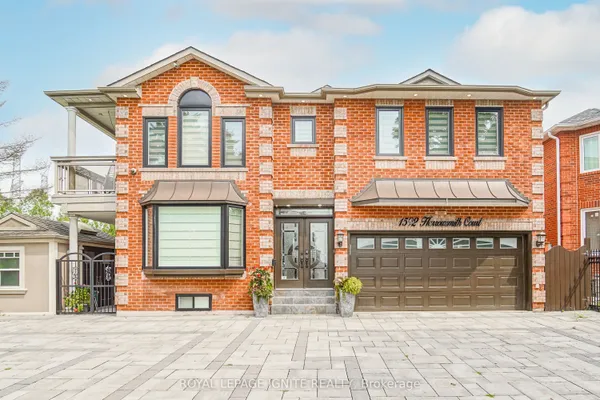
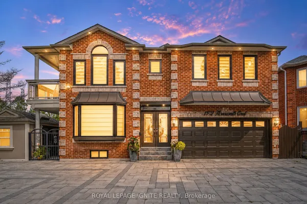
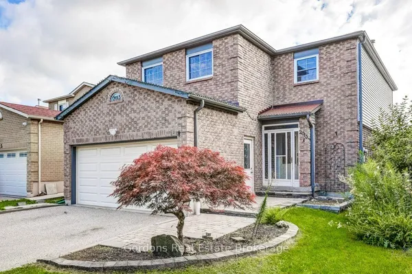
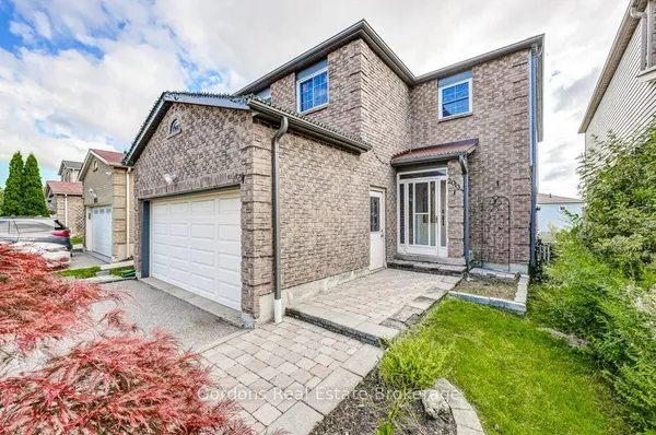
Newest Brock Ridge homes for sale

See all 18 listings

New Brock Ridge homes for sale land here first. Save this search and we email you the moment one is listed.

Where Brock Ridge sits

Brock Ridge is the block of northeast Pickering that Brock Road splits in two: West Duffins Creek wraps its west and south sides, the hydro transmission corridor forms the north edge, and the Ajax boundary at Duffins Creek closes the east. Finch Avenue crosses the south end, and Dellbrook Avenue and Major Oaks Road are the signalled entries off Brock Road.

The homes you will find

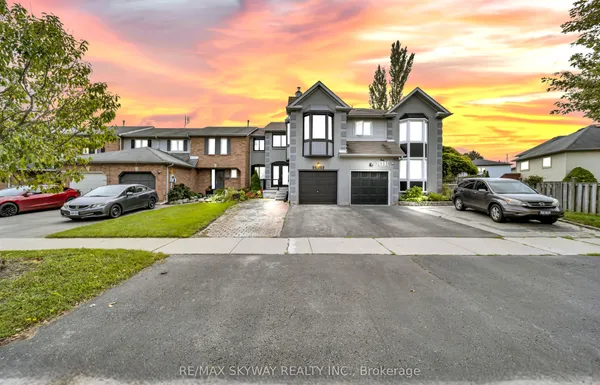
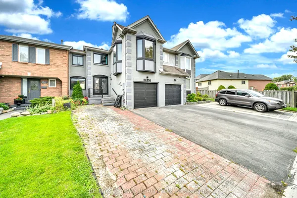
The west side of Brock Road, laid out in the 1980s, holds the bulk of the stock: brick two-storey detached houses on suburban lots, sidesplits on the ravine edges, and linked or semi-detached pairs on the crescents off Dellbrook Avenue and Major Oaks Road. Most homes carry four bedrooms and a two-car garage, and the 2021 census still records roughly three quarters of dwellings as single detached. The northeast pocket east of Brock Road followed through the 1990s and into the early 2000s. South of Ganatsekiagon Creek, the Duffins Precinct is the newer chapter: the City's 1997 guidelines call for a compact mix of detached, semi-detached, townhouse and multi-unit buildings east of Brock Road, with a community node of four to eight storeys at Dellbrook Avenue and a sewer-capacity cap on the number of units, and several townhouse projects have gone up there in recent years. Clearside Court has the older townhouse rows. Ravine lots backing the West Duffins valley are the ones buyers wait for.

Getting around

Brock Road is the spine. Southbound it reaches Kingston Road, the Highway 401 interchange and Pickering Parkway Terminal within minutes; northbound it meets Taunton Road, Highway 7 and the Highway 407 interchange at Brock Road, open since June 2016. Valley Farm Road is the second collector, linking Third Concession Road to Kingston Road past the Chestnut Hill recreation complex. Durham Region Transit route 112 runs Brock Road between Seaton and Pickering Parkway Terminal every half hour, and from October 2026 it carries on to the new 407 station at Brock Road; PULSE 916 also climbs Brock Road on its way to Rossland Road. Pickering GO, on Lakeshore East, sits a few minutes south by bus or car, with weekday trains every 15 minutes. Cycling works on the quieter streets, and the creek valleys carry hiking trails that the City's Trails and Bikeway Master Plan ties into the West Duffins corridor.

Schools

Valley Farm Public School is the Durham District School Board elementary that most guides tie to the neighbourhood, with Glengrove Public School nearby and Pine Ridge Secondary School on Liverpool Road, opened in 1992, as the usual public high school. St. Wilfrid Catholic School on Southcott Road serves Durham Catholic families and feeds St. Mary Catholic Secondary School at Whites Road and Finch. The Conseil scolaire Viamonde's École élémentaire and École secondaire Ronald-Marion, the French-language public school for Pickering, is the combined elementary and secondary school the City's profile lists here. Public French immersion in Pickering starts in Grade 1 at Maple Ridge, Frenchman's Bay and Biidaasige Mandamin public schools, and both boards set boundaries by address, so check your own street with the board before you buy. The Durham College and Centennial College Joint Learning Site sits at the GO station bridge.

Parks, shopping and daily life

Brock Ridge Community Park is the big one, with ball diamonds used by Pickering Baseball, mini soccer fields, picnic tables and trail links; Centennial Park adds a playground and a ball field, Southcott and Clearside parks have accessible play equipment, and Glengrove Park carries outdoor fitness stations. The West Duffins and Ganatsekiagon ravines give walkers wooded paths within a few minutes of most front doors. Daily errands run through the plaza at Brock Road and Dellbrook Avenue, with its independent shops, restaurants and medical offices; bigger trips go to the SmartCentres stores at Brock Road and Kingston Road and to the regional mall at Liverpool and Kingston, now branded as the Pickering City Centre shops. The Chestnut Hill Developments Recreation Complex on Valley Farm Road has an eight-lane pool with a diving well, arenas and fitness studios. For emergencies, Lakeridge Health's Ajax Pickering site on Harwood Avenue is the nearest hospital.

Who it suits

Brock Ridge suits families who want a four-bedroom house with a garage, schools of both boards close by and a sports park a block away, and who commute by car up Brock Road to the 407 or down to the 401. First-time buyers can find semis and townhouses here that are scarce in the older west-end communities. It is a poor fit for anyone who wants to walk to a GO train or a main street, since Kingston Road and the station are a bus ride away, and the hills make winter cycling a chore. Buyers who dislike ongoing construction should note that the east side of Brock Road is still building out.

Questions people ask about Brock Ridge

How long does it take to reach downtown Toronto from Brock Ridge?

By car it is Brock Road to Highway 401 in about five minutes, then the 401 west; the 407 at Brock Road is the toll alternative for the north side of the city. By transit, route 112 or PULSE 916 takes you to Pickering Parkway Terminal, and from Pickering GO the Lakeshore East trains leave every 15 minutes on weekdays for Union Station.

Which schools serve Brock Ridge?

Valley Farm and Glengrove public schools on the DDSB side, with Pine Ridge Secondary School as the high school; St. Wilfrid Catholic School and St. Mary Catholic Secondary School for the Catholic board; and École Ronald-Marion for French-language public education. Boundaries are set by the boards and can change with growth, so check your exact address.

Are the ravines a flooding or erosion concern?

Homes that back onto the West Duffins or Ganatsekiagon valleys sit near land that TRCA regulates. The City's precinct guidelines keep buildings at least 10 metres from the top of bank, so check the survey, ask TRCA about the regulated limit, and have an inspector look at grading and drainage on sloped lots.

What is being built on the east side of Brock Road?

The Duffins Precinct plan directs a mix of housing from townhouses to mid-rise buildings between Ganatsekiagon Creek and the West Duffins, with a taller mixed-use node planned at Dellbrook Avenue. Several townhouse developments have already been completed, and further applications show up on the City's development-proposals list, so expect construction traffic for a few more years.

Is there a grocery store within walking distance?

The plaza at Brock Road and Dellbrook Avenue covers convenience shopping, restaurants and medical offices, but full grocery runs mean a short drive south to the SmartCentres stores on Brock Road or to Kingston Road. Route 112 along Brock Road makes the trip possible without a car.

Sources: apps.pickering.ca · media-002-ca.cdn.govstack.com · pickering.ca · pickering.ca · pickering.ca · pickering.ca