
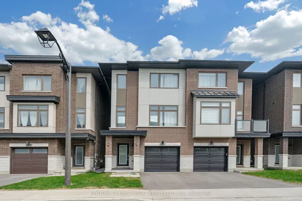
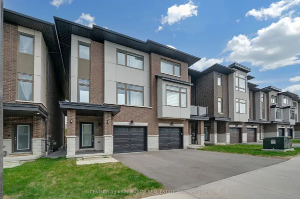
Where Rouge Park sits
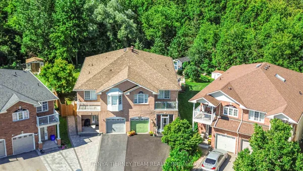
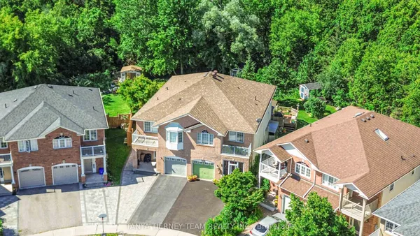
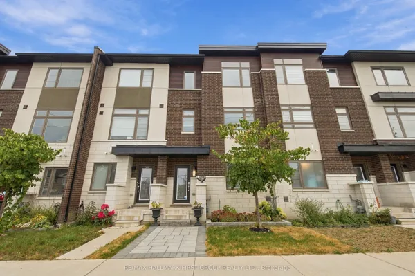
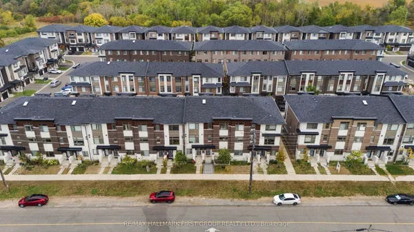
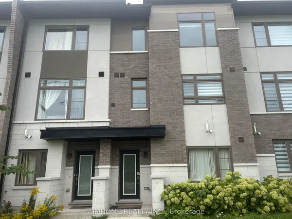
Rouge Park is Pickering's northwest corner inside the urban boundary: the Toronto line and the Rouge valley on the west, the CP rail line on the north, an open-space band just east of Rosebank Road as the eastern limit, and the hydro transmission corridor closing the south side, as the City's Official Plan draws it. Finch Avenue crosses the middle east to west and Altona Road meets it at the neighbourhood's designated centre, with Woodview Avenue reaching toward the park edge. Real estate maps generally show a smaller Rouge Park, the newer streets west of Altona Road and north of Finch, with the blocks toward Rosebank Road sometimes filed under Highbush.