
Where Woodlands sits
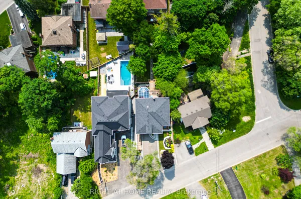
Woodlands sits north of Highway 401 on either side of Rosebank Road, with the Petticoat Creek ravine as its west edge and Whites Road as its east, with Kingston Road and the highway along the bottom and, roughly, Sheppard Avenue and the CN rail line at the top. The City's own Woodlands profile runs further east past the Whites Road interchange to a small Amberlea Creek tributary, taking in the Kingston Road and Sheppard Avenue blocks east of Whites, and some guides put the northern edge at Finch Avenue instead. Old Forest Road, Highbush Trail and Rosebank Road are the original streets.