
Scugog neighbourhood guide

Port Perry

Port Perry is the lake town of north Durham, home to about 9,500 people as of the 2021 census and the seat of Scugog Township. Reach Township was surveyed in 1809, Reuben Crandell built the first homestead in 1821, Peter Perry subdivided the shoreline into lots in 1848, the townsite took his name in 1852 and became a village in 1871, and the first train on the Port Whitby and Port Perry Railway pulled in during 1872; the grain elevator from the 1870s beside the water is said to be the oldest still standing in Canada. Queen Street's Victorian storefronts, the 1873 town hall theatre and Palmer Park on the waterfront are why film crews keep coming, from Fly Away Home in 1996 to Welcome to Mooseport in 2004 and Reacher. Buyers are retirees from the east GTA, families who want a small town with its own high school and hospital, boaters and anglers on Lake Scugog, and commuters who take Simcoe Street to Oshawa and the 407. It is a town people choose on purpose rather than pass through on the way somewhere else.

Port Perry homes by the numbers

Live from the MLS® feed · updated October 8, 2026

76 For sale now
38 New in 30 days
$1,074,950 Median asking price Middle half $814K to $1.3M
$538 Asking price per sq ft
32 days Median days listed
26% Listings with a price cut Median cut 5.9%

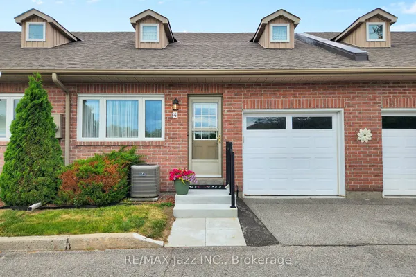
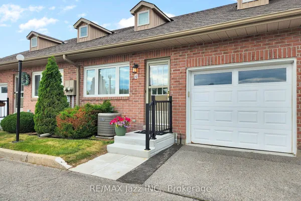
What is for sale: 70 detached homes · 4 townhouses · 2 semi-detached homes

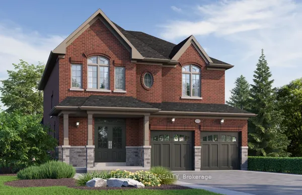
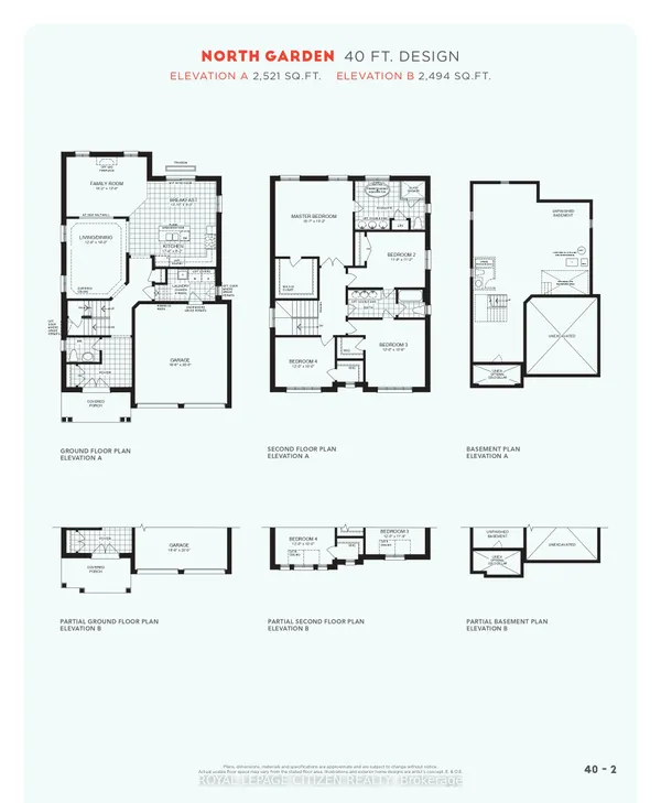
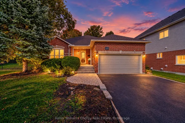
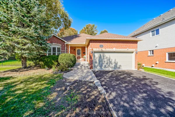
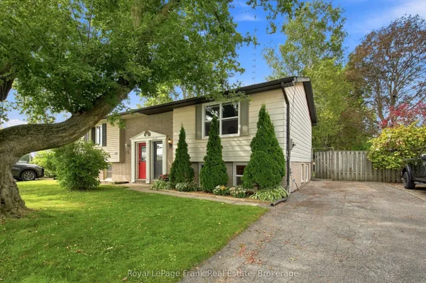
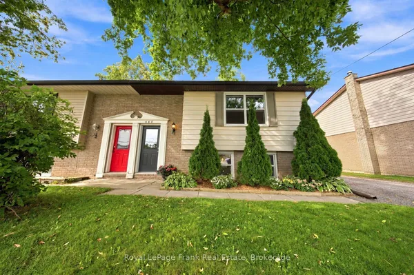
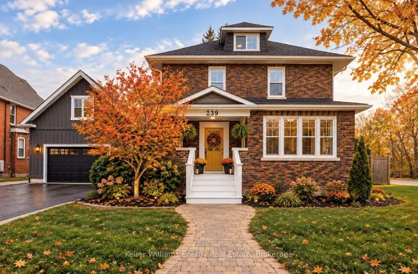
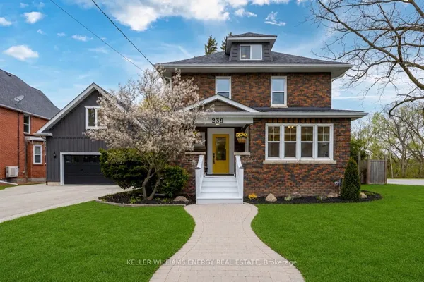
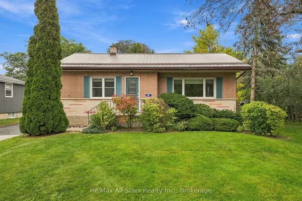
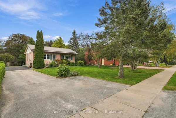
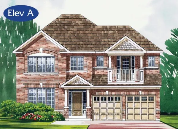
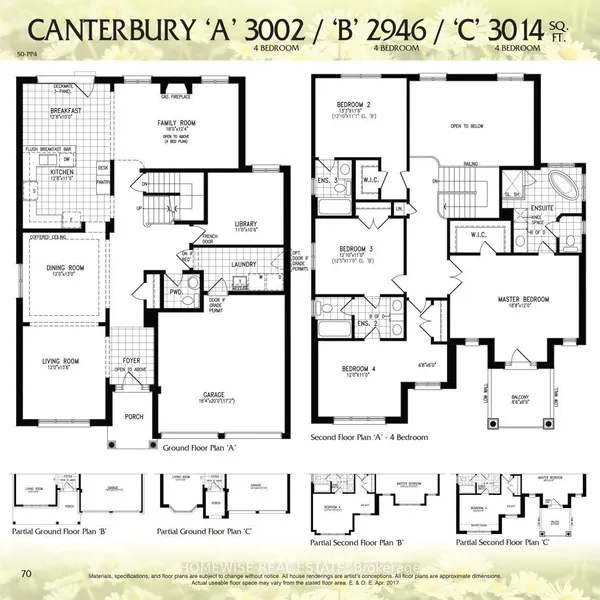
Newest Port Perry homes for sale

See all 76 listings

New Port Perry homes for sale land here first. Save this search and we email you the moment one is listed.

Where Port Perry sits

Port Perry is the urban area of Scugog Township on the west shore of Lake Scugog: from the waterfront along Water Street and the causeway approach to Scugog Island on the east, north roughly to the Nonquon River flats and the last serviced subdivision off Simcoe Street, west past Reach Street to the fields toward Manchester, and south along Simcoe Street to the old hamlet of Prince Albert, which the township counts as part of the urban area. The historic core is Queen Street between Water Street and Simcoe Street, and Borelia, the Crandell family's original settlement near Queen Street and Highway 7A, sits inside the line. Where guides disagree is at Prince Albert and the northern edge.

The homes you will find

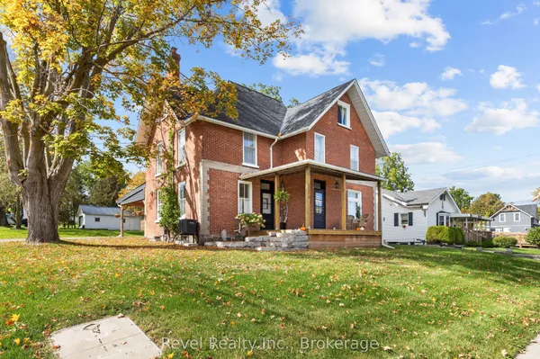
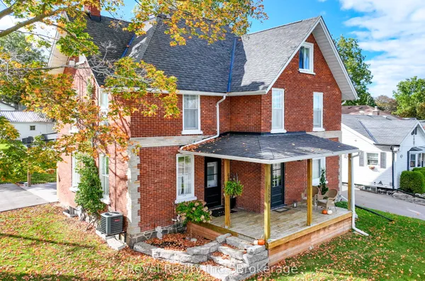
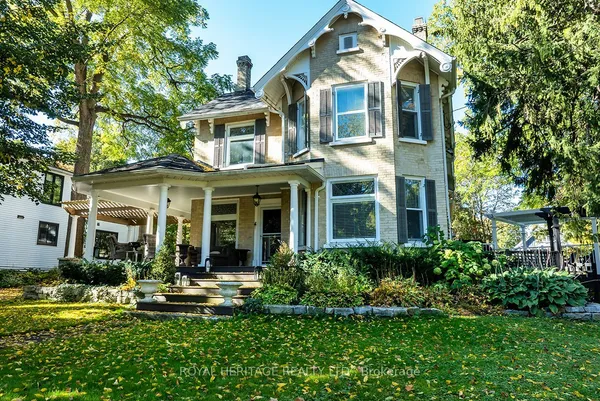
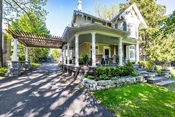
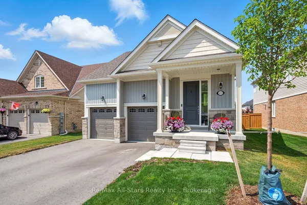
Port Perry's oldest houses are the Victorian brick and frame houses along the streets north and south of Queen Street between Water Street and Simcoe Street, some with lake views, a number listed on the township heritage register. Around them sit the mid-century rings: 1950s to 1970s bungalows, side-splits and the odd back-split set on wide lots along Rosa Street toward the high school and the Reach Street corridor. Subdivisions from the 1980s onward filled the west and north, with two-storey brick homes and bungalows off Reach Street near the Good Shepherd school, and larger newer homes and bungalow enclaves on the north end toward the Nonquon flats, several of them aimed at downsizers. Prince Albert, the old hamlet at the south end on Simcoe Street, mixes century houses with 1970s bungalows and newer infill. Waterfront is scarce inside town and mostly along Water Street or the causeway approaches, so lake-view lots on the rise above the harbour draw attention. Most of the town is on Regional water and sewer, unlike the rest of Scugog.

Getting around

Simcoe Street, Regional Road 2, is the commuter spine: south through Raglan to Oshawa, the Highway 407 interchange at Simcoe Street and then Highway 401, roughly 25 minutes to the 407 on a normal morning. Highway 7A runs west to Manchester, where it meets Highway 12 and Highway 7 for Brooklin, the 407 at Baldwin Street and Highway 412 to the 401 in Whitby, and east across the Scugog causeway toward Blackstock, Highway 35 and Peterborough. Tolls on the provincial 407 ended June 1, 2025. Durham Region Transit route 905 links Port Perry to Whitby GO and to Uxbridge at one- to two-hour intervals, route 618 runs weekdays from the Port Perry terminal to Beaverton along Highways 7 and 12, and On Demand trips fill the gaps, booked in the app or on 311. GO trains mean Whitby or Oshawa stations. Downtown and the waterfront are flat and walkable, and the Nonquon and waterfront trails suit cycling.

Schools

The Durham District School Board runs three elementary schools in and beside town, R.H. Cornish and S.A. Cawker in Port Perry and Prince Albert Public School at the south end, plus Port Perry High School at 160 Rosa Street, which began as a grammar school in 1868, was rebuilt after a fire in 1926 and expanded as recently as 2012, with about 910 students and shops for culinary, cosmetology and outdoor education. Catholic families have Good Shepherd Catholic School at 1650 Reach Street; the Durham Catholic board buses secondary students to Whitby or Oshawa, so confirm the assigned school. French immersion placement in north Durham changes with enrolment and should be checked with the board for the year you arrive. Durham College, Ontario Tech and Trent Durham in Oshawa are about half an hour south. Each board sets boundaries by address.

Parks, shopping and daily life

Palmer Park is the centre of town life: the waterfront lawn with a splash pad, playground, pier and the farmers market, next to the marina and the boat launch onto Lake Scugog and the Trent-Severn system beyond Lindsay. Birdseye Park has the outdoor pool and a fishing spot, Joe Fowler Memorial Park the tennis courts and diamonds above the lake. The Scugog Community Recreation Centre on Reach Street, opened in 1977 with a second pad added in 2004, carries hockey, skating and a banquet hall, and the Scugog Memorial Public Library sits on Water Street. Queen Street supplies the boutiques, cafés and the town hall theatre; the grocery stores, hardware and banks line Highway 7A and Simcoe Street at the edge of downtown. Lakeridge Health Port Perry keeps an emergency department open around the clock, and the Great Blue Heron Casino on Scugog Island, owned by the Mississaugas of Scugog Island since it opened in 1997 and expanded with a hotel in 2021, is a major local employer.

Who it suits

Port Perry suits retirees and downsizers who want a real downtown, a hospital and a lake inside walking distance or a five-minute drive, families who like a single-high-school town where everyone knows the coach, boaters and anglers, and commuters who can live with Simcoe Street to the 407. It rewards people who join things, from the fair board to the curling club. It suits less well anyone who needs rail transit, a big-box shopping run close by, or new-build condo living, and lake-adjacent buyers should understand that Lake Scugog is shallow, weedy by August and better for bass than for swimming off a dock.

Questions people ask about Port Perry

What is the commute from Port Perry to Toronto like?

Driving, plan on 25 to 35 minutes to the Highway 407 at Simcoe Street and then whatever the 407 and 401 give you, often 70 to 90 minutes to downtown at peak. By transit, DRT route 905 to Whitby GO and the Lakeshore East train is the realistic option, and most riders drive to Whitby or Oshawa GO instead.

Does Port Perry flood?

The waterfront and the Nonquon River flats are low, and Lake Scugog sits at a level set by the Lindsay dam, so spring water can rise on Water Street lawns and the causeway. Kawartha Conservation regulates building near the shore and wetlands. Ask for the regulation map and elevation for any lot near the lake or the river.

Is the hospital full service?

Lakeridge Health Port Perry, the former Community Memorial Hospital folded into Lakeridge in 1998, runs an emergency department around the clock with about 24 inpatient beds and mostly family-physician based care. Surgery, cardiac and cancer care go to Oshawa or Bowmanville, so residents with complex needs plan for that drive.

Is there new construction in Port Perry?

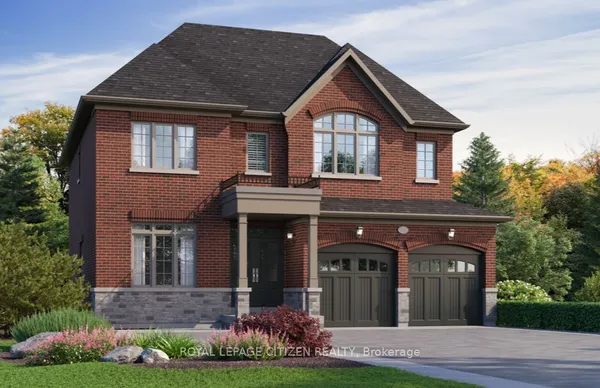
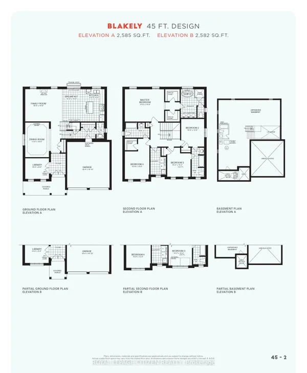
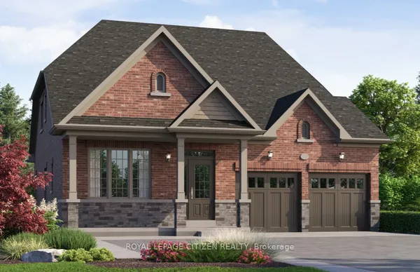
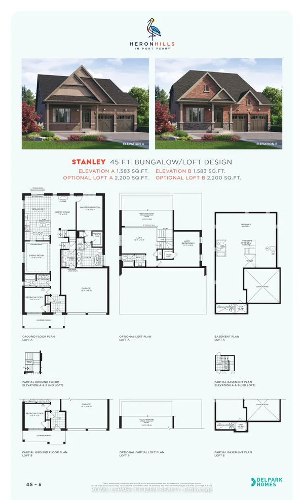
Yes, mostly on the north and west edges within the serviced boundary, in phases of detached homes and bungalows aimed at move-up families and downsizers, with a few townhouse blocks. Growth is slower than in the lakefront cities because Regional sewer and water capacity, the Greenbelt and the moraine set the limits. Ask about the servicing allocation before buying a pre-construction lot.

What is Scugog Island like to live on?

It is farmland, cottages and year-round houses reached by the causeway, with the First Nation's reserve, the casino and hotel, and the Scugog Shores Museum. Most homes are on wells and septic, shoreline rules apply, and the island is a short drive to Queen Street. TRREB generally files it under Rural Scugog rather than Port Perry.

Sources: en.wikipedia.org · en.wikipedia.org · en.wikipedia.org · en.wikipedia.org · en.wikipedia.org · en.wikipedia.org