
Where South East sits
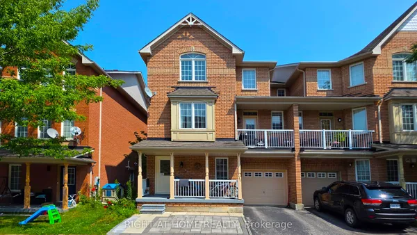
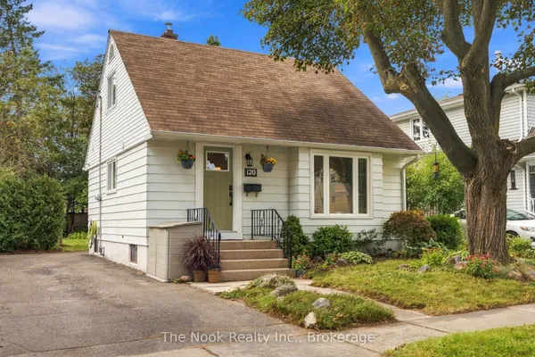
South East runs from Highway 401 and the rail corridor down to Lake Ontario, between Harwood Avenue South on the west and Lake Ridge Road at the Whitby line on the east. Bayly Street East divides its employment lands and the civic edge near Harwood from the residential streets that reach south along Salem Road South, Shoal Point Road and Audley Road South to Lake Driveway East and the waterfront. The Carruthers Creek marsh and the old cottage streets of Pickering Beach form its southeastern corner, and where the Ajax Community Centre and Town Hall lands are counted varies by guide.