
Where South West sits
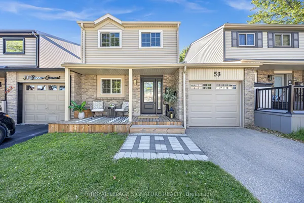
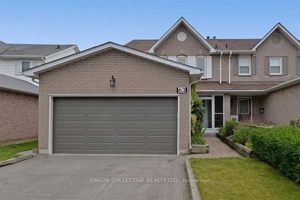
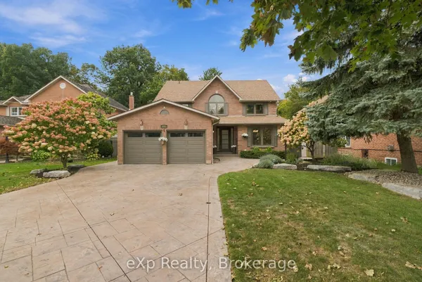
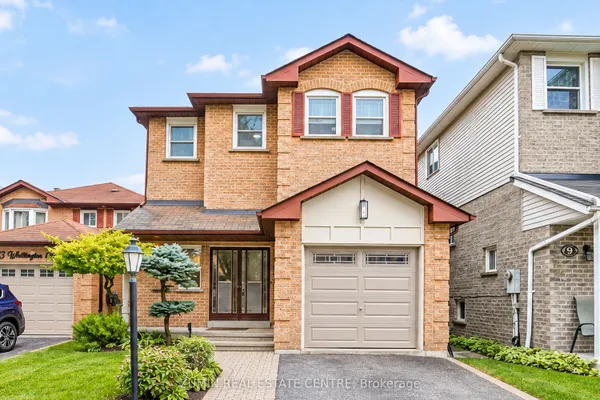
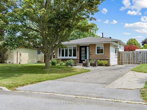
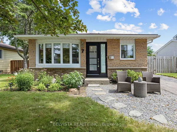
South West is everything south of Highway 401 and west of Harwood Avenue South: the Duffins Creek valley and marsh on the Pickering side, Lake Ontario on the south, and the CN corridor and the highway on the north. Bayly Street West splits it into the station and civic core above, with the GO station on Westney Road South, town hall and the main library at Harwood and Bayly and the industrial lands along Fairall Street and Clements Road West, and the residential streets below, running down to Lake Driveway West and the waterfront parks. Locals use Lakeside, Duffins Bay and, for the 1940s core near Harwood, the wartime streets.